M. Arasumani, Aditya Singh, Milind Bunyan & V. V. Robin
Biological Invasions | April 27, 2021
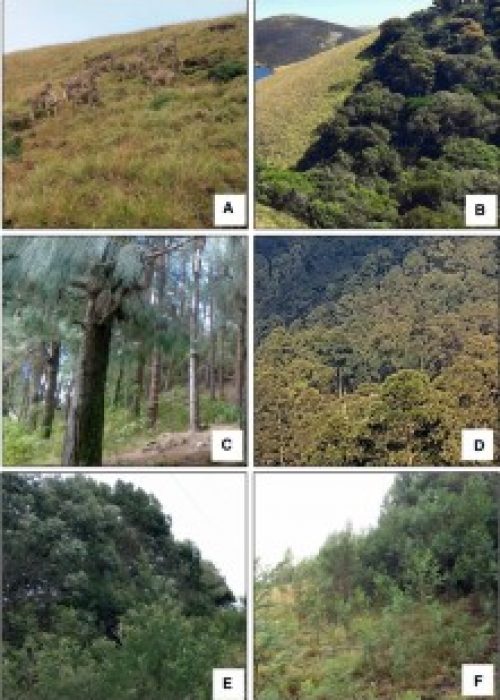
Invasive alien species threaten tropical grasslands and native biodiversity across the globe, including in the natural mosaic of native grasslands and forests in the Shola Sky Islands of the Western Ghats. Here, grasslands have been lost to exotic tree invasion (Acacias, Eucalyptus, and Pines) since the 1950s, but differing invasion intensities between these species and intermixing with native species constitutes a major challenge for remotely sensed assessments. In this study, we assess the accuracy of three satellite and airborne remote sensing sensors (Sentinel-1 radar data, Sentinel-2 multispectral data and AVIRIS-NG hyperspectral data) and three machine learning classification algorithms to identify the spatial extent of native habitats and invasive tree species. We used the support vector machine (SVM), classification and regression trees (CART), and random forest (RF) algorithms implemented on the Google Earth Engine platform. Results indicate that AVIRIS-NG data in combination with SVM produced the highest classification accuracy (98.7%).


