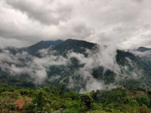
Enhancing landscape connectivity through multifunctional corridors in the Biligiri- Ranganswamy Temple Tiger and Agasthyamalai landscapes
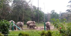
Western Ghats Nilgiris Landscape India – Tackling lantana in tiger and elephant habitats. It is a collaborative project by ATREE, NCBS, Shola trust and WWF India
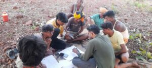
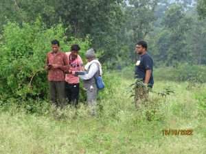
Training, capacity development and decision-making support for CFR rights recognition in Bastar district
Supporting CFR recognition management with GeoSpatial technology (Supporting data capacity in conservation efforts)
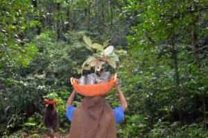
Setting up local community based distributed nurseries and supporting existing nurseries for restoring Soliga agro-ecosystems
Securing Individual Forest Rights (IFR) for the forest villages of Madhya Pradesh using geospatial technology