Aamcho CFR Mapping
About the APP
Community Forest Rights (CFR) is an initiative by Ashoka Trust for Research in Ecology and the Environment (ATREE) an environmental research institute based in Bengaluru. ATREE’s Centre for Environment and Development works on enabling sustainable, livelihood enhancing, and democratic forest governance. CFR works at a national level as well as in sites in Karnataka, Maharashtra, Chhattisgarh, Madhya Pradesh, and Telangana.
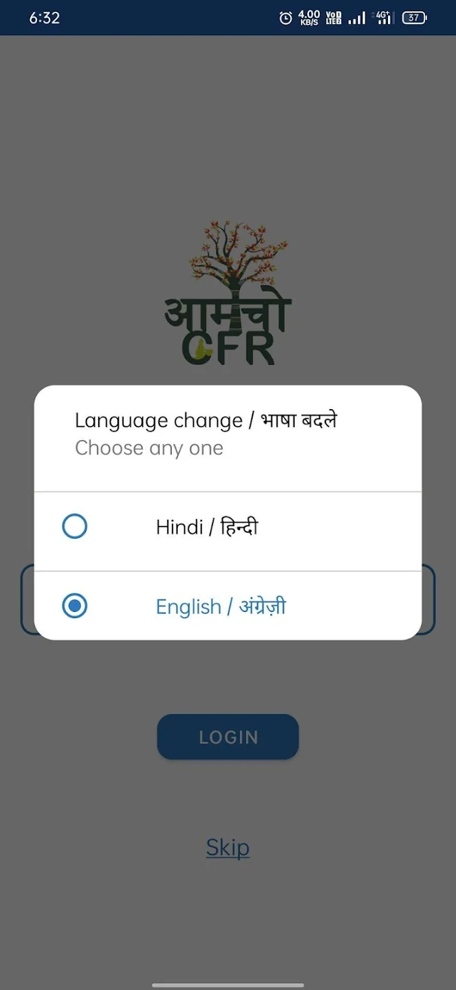
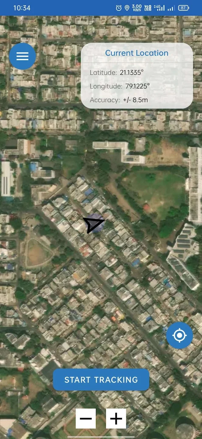
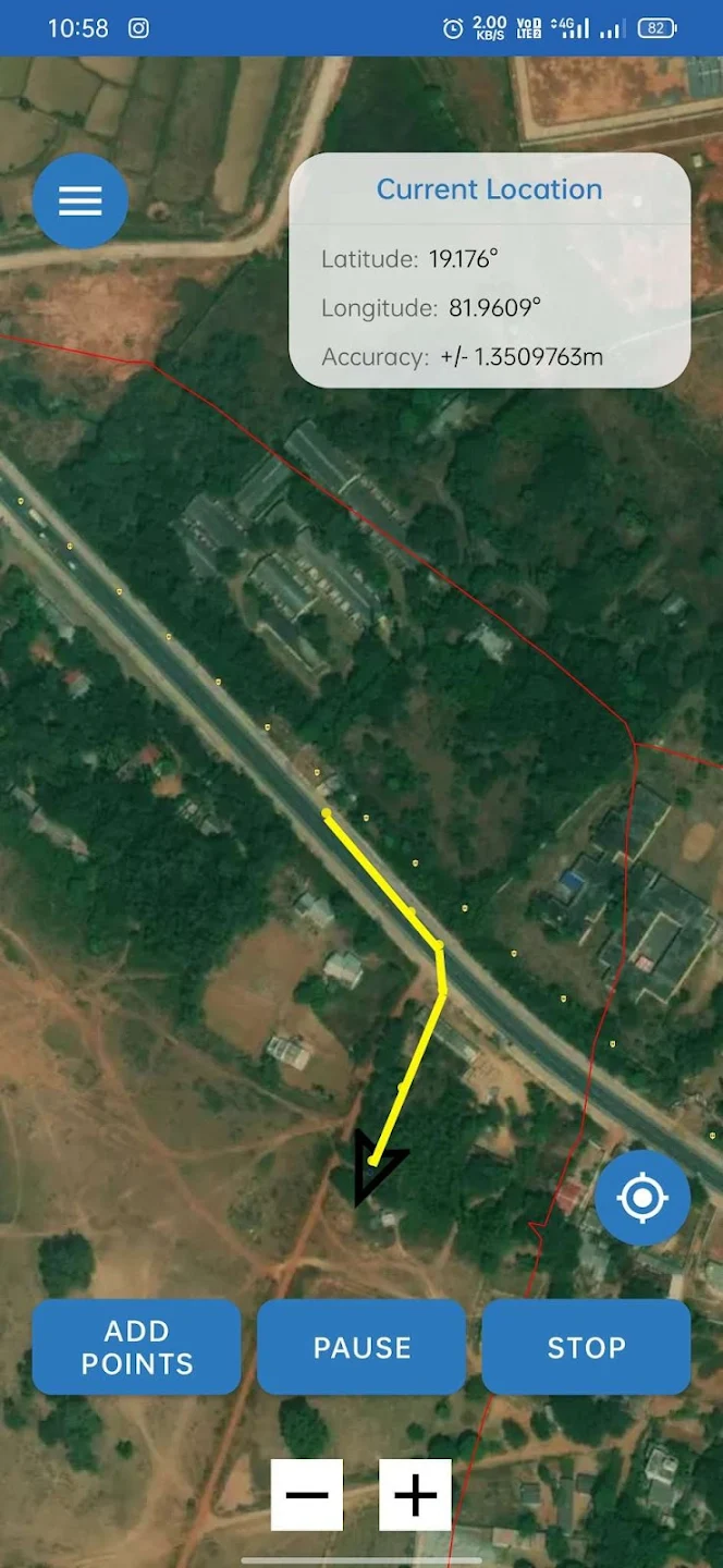
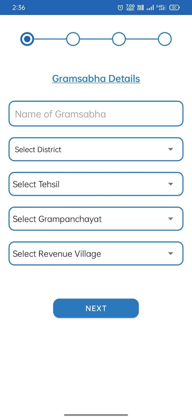
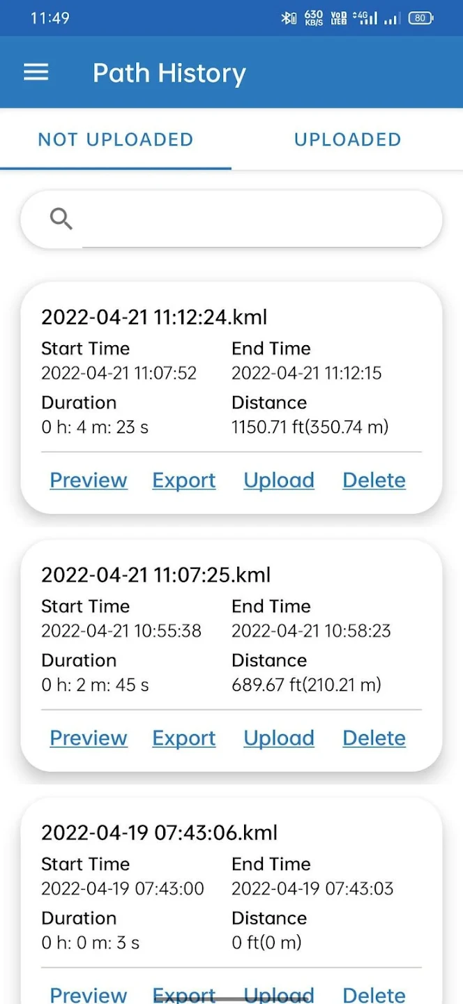
This app is a part of a freely accessible GIS-based Decision Support system that can be used both by the district administration and by the local community to accurately map and claim CFR areas, resolve boundary disputes, and plan forest resource use. The app can be used to create GPS tracks of CFR claim areas and upload them to the webGIS to eventually integrate them into official records.
Click here to download.
Privacy Policy
At ATREE, we are committed to respecting and protecting your privacy.
Our Privacy policy is as follows:
The App does not send any information to us, EXCEPT when the authorised user uploads the track.
- If the authorised user uploads a track, we assume the user officially represents the relevant village, and has uploaded the track in order that it may be shared with the district administration and displayed on the webGIS and entered in any official records if necessary. Accordingly, the track is saved in our archives, displayed on the webGIS and shared with the Bastar district administration, along with all attribute information collected through our form at the time of uploading (such as username, position, phone number, village name, etc).
- The Bastar district administration may in turn share the approved tracks with other departments or branches of Chhattisgarh state government for inclusion in record of rights, land records etc. This may possibly include the name and details of the person who uploaded the tracks.
- If you have uploaded a track, then we may occasionally need to get in touch with you for clarifications.
- We do not ourselves collect any data on how you use the app or where you use it or who uses it. However, the app uses some external services (such as Open Street Maps) which may collect some basic data on the user at the time of accessing the service (such as unique ID of user phone, phone number, and location). However, to the best of our knowledge, these services cannot record what exactly you are doing with their maps.
- The app needs background location access permission to collect location coordinates & provide a good tracking experience.
We may update this policy. If we make any significant changes, we will highlight the changes on this webpage and in the app.


