Gowri Uday, Abi Tamim Vanak, Abhishek Samrat, Anusha Chaudhary, Mujeeb Rahman
PLOS ONE | January 24, 2025
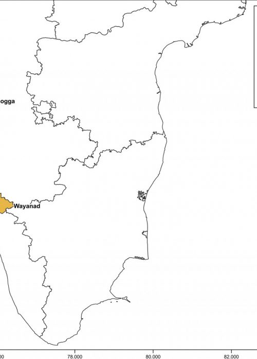
This study evaluated data loss due to clouds in three Western Ghats (India) districts. These forest-agricultural mosaic landscapes, where water-related diseases are prevalent, experience the Indian monsoon. We compared surface water areas mapped by thresholding 10m Sentinel-1A SAR data with the optical 30m Landsat-derived Joint Research Centre (JRC) Global Surface Water product, currently the only globally available long-term monthly surface water data product.


